Our Capabilities
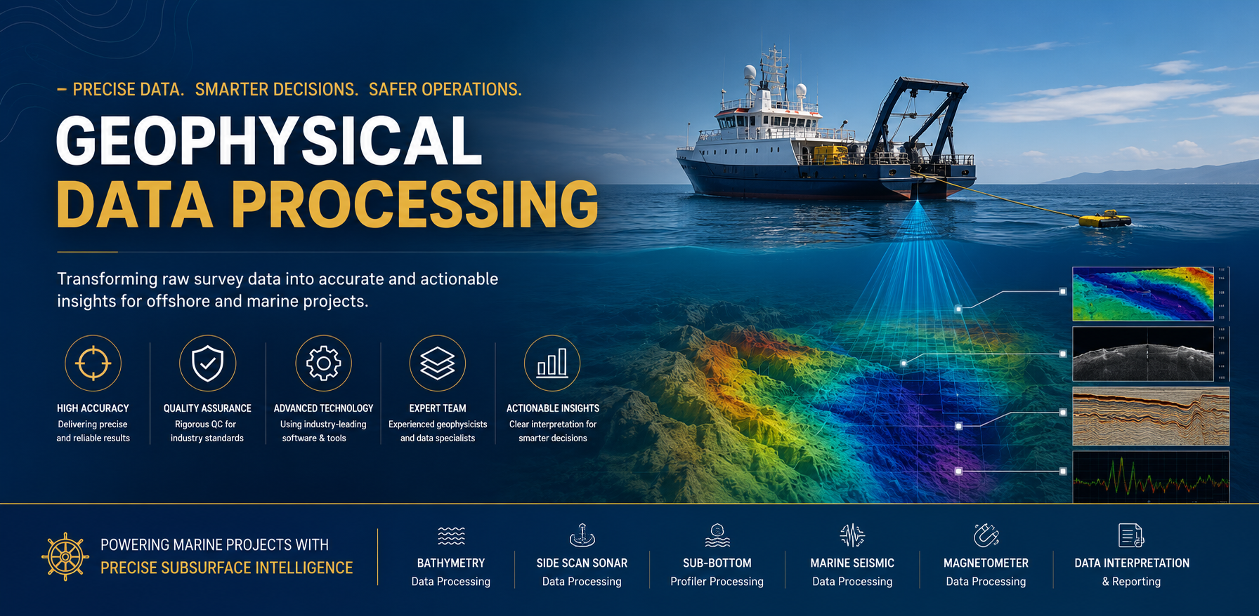
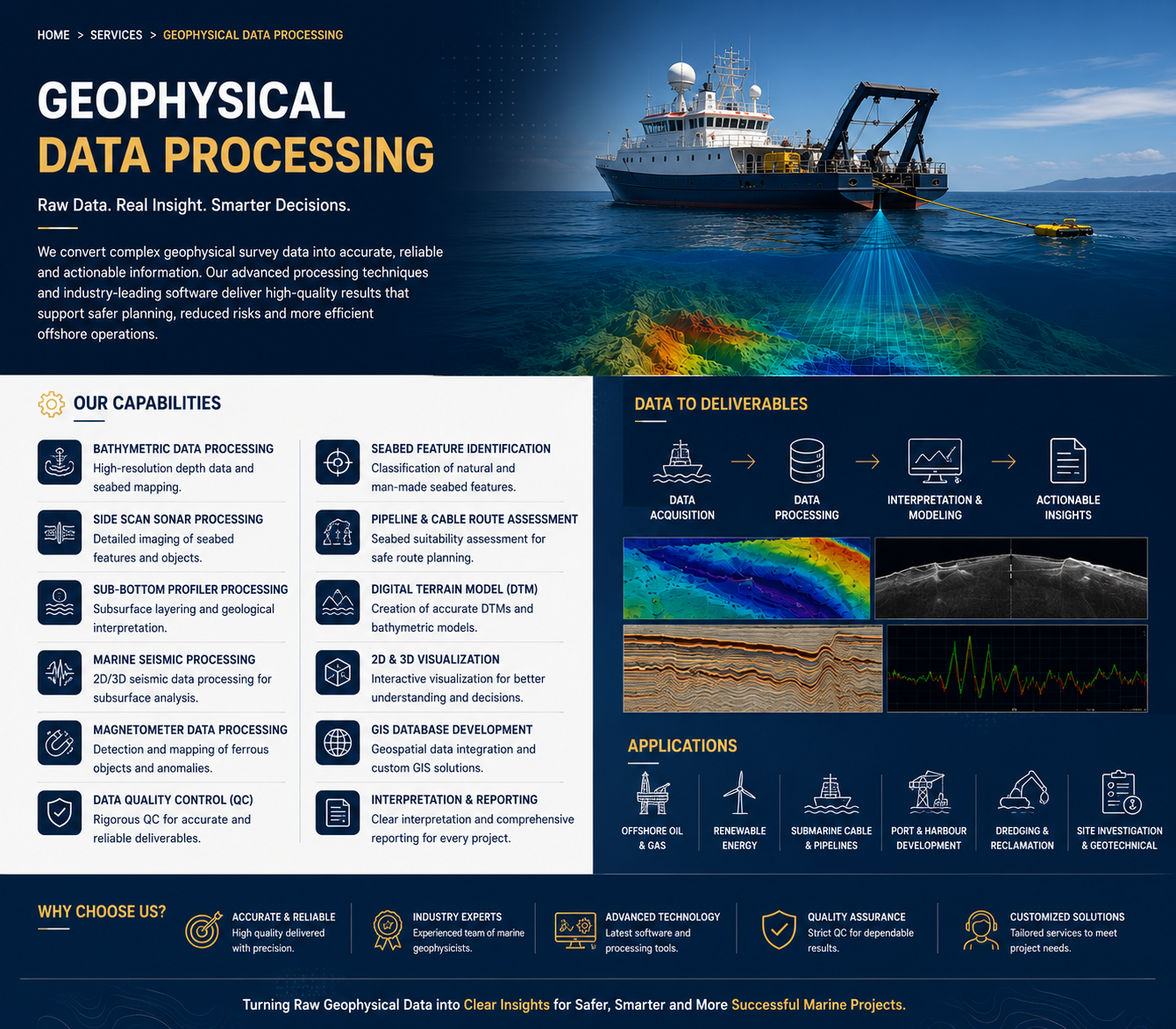
- Bathymetric Data Processing
- Side Scan Sonar Data Processing
- Sub-Bottom Profiler Data Processing
- Marine Seismic Data Processing
- Magnetometer Data Processing
- Seabed Feature Identification and Classification
- Pipeline and Cable Route Assessment
- Geophysical Data Quality Control (QC)
- Digital Terrain Model (DTM) Generation
- 2D & 3D Seabed Visualization
- GIS Database Development
- Geophysical Interpretation and Reporting
Applications
Our geophysical data processing services support a wide range of marine and offshore projects, including:
- Offshore Oil & Gas Developments
- Renewable Energy (Offshore Wind Farms)
- Submarine Cable and Pipeline Installation
- Port and Harbour Development
- Dredging and Reclamation Projects
- Coastal Engineering
- Marine Construction
- Hydrographic Surveys
- Environmental Impact Assessments
- Site Investigation and Geohazard Assessment
Why Choose Us?
We combine technical expertise, modern processing software, and strict quality assurance procedures to deliver precise and dependable geophysical data products. Our team is committed to providing customized solutions that improve project planning, reduce operational risks, and ensure compliance with international standards.
At Deep Ocean Marine Equipment Company, we deliver high-quality geophysical data processing services that provide clients with accurate subsurface intelligence for safer, more efficient, and cost-effective offshore operations.